The Shumka loop
Ride the VIA Budd Car east to the Shumka rail stop, then paddle home to Missanabie past Fairy Point — a trip that starts and ends at our dock.
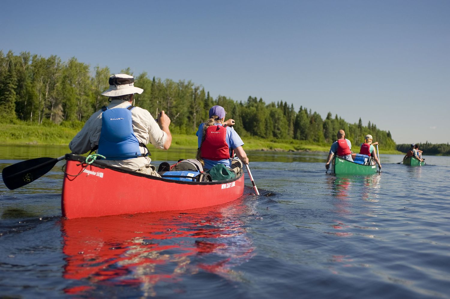
Missanabie is where the road and the rail run out and the water takes over — the classic put-in for the Missinaibi, a Canadian Heritage River that free-flows more than 500 km north to James Bay. Paddlers have followed it for two hundred years, over the height of land that separates the waters of Lake Superior from the salt.
Leave your vehicle safe at camp for a small daily fee, put in right off our shore, and count on a hot shower and a warm cabin the day you take out. Ask us about the VIA Rail Budd Car put-in from Missanabie station, too.
The end of Highway 651 — and the beginning of the water. Leave the vehicle at our dock.
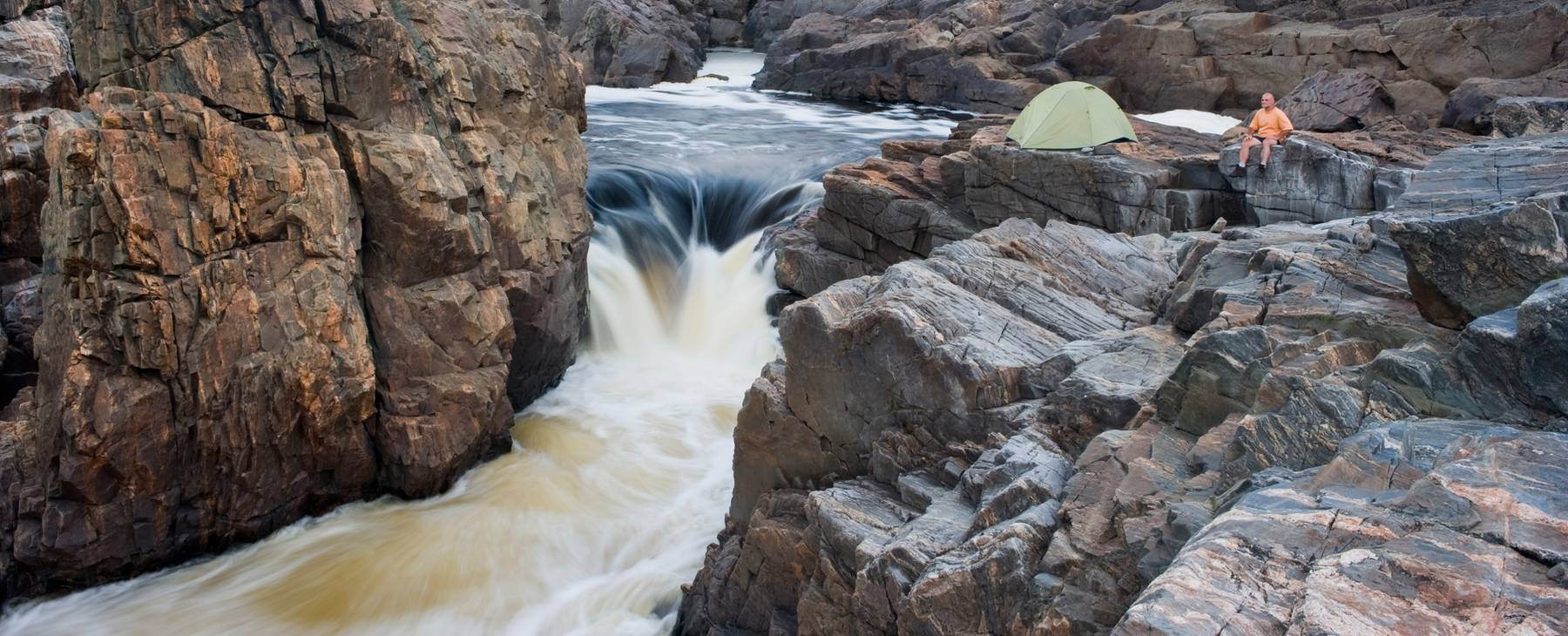
More than a hundred pictographs on the cliff face — the “pictured waters” the river is named for.
The natural finish line for the upper river, back on the road.
Where the Missinaibi becomes the Moose and meets the salt water.
From a long weekend that ends back at our dock to a three-week descent to the coast — these are the trips that start here.
Ride the VIA Budd Car east to the Shumka rail stop, then paddle home to Missanabie past Fairy Point — a trip that starts and ends at our dock.
The classic upper river. Put in off our shore, take out at Highway 11 — big water and big country, with one road crossing the whole way.
Follow the whole Heritage River north to Moosonee, where the Missinaibi becomes the Moose and reaches the salt water of the bay.
More than a hundred paintings on the rock face — caribou, herons, soul boats, and Mishipeshu the Great Lynx. The “pictured waters” the river is named for.
Distances and routes from Ontario Parks and Northern Ontario Travel. We're a staging point, not an outfitter — bring your own boat and plan, and we'll keep the vehicle safe and the kettle on.
This is a working preview of the Dog Lake Cottages & Campground website — designed, built and hosted by Sucura Networks Inc. It is shared with the Missanabie Cree First Nation under licence, for review only.
The design, code and content remain the property of Sucura Networks Inc. until the site is purchased. Please don't copy, reproduce or redistribute any part of it.
© 2026 Sucura Networks Inc. · All rights reserved